What Is LiDAR Annotation and Why It Matters
LiDAR annotation is an essential part of developing advanced technologies that rely on spatial awareness and environmental mapping. From autonomous vehicles to smart city infrastructure, this process helps machines understand their surroundings accurately. As industries increasingly depend on precise data interpretation, LiDAR annotation plays a key role in bridging the gap between raw data and actionable insights.
Understanding LiDAR Annotation
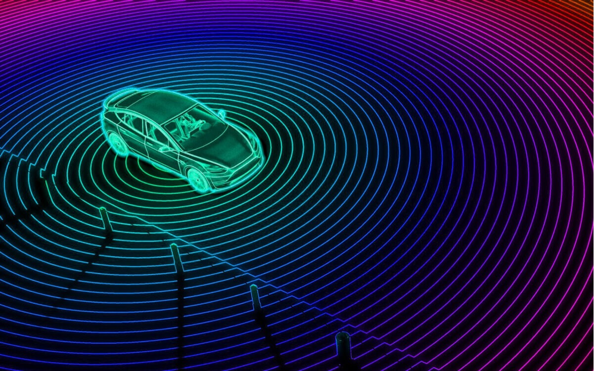
LiDAR stands for Light Detection and Ranging, a technology that uses laser pulses to measure distances and create detailed 3D representations of environments. When these laser scans are collected, they form what is known as a point cloud, a massive collection of data points that represent the shape, size, and position of objects. LiDAR annotation involves labelling and categorising these data points so that computer systems can recognise features such as vehicles, trees, roads, and buildings.
The process allows artificial intelligence models to learn from accurately annotated data, helping them make informed decisions in real-world applications. Without this annotation, the data collected from LiDAR sensors would simply remain a cluster of unrecognised points, offering little value to systems that depend on clarity and context.
Why LiDAR Annotation Is Important
The importance of LiDAR annotation extends far beyond basic data processing. It provides the foundation for reliable machine learning models, ensuring that automated systems can interpret complex environments safely and efficiently. For instance, in autonomous driving, properly annotated LiDAR data enables vehicles to detect obstacles, gauge distances, and navigate through traffic with precision.
In urban development, annotated LiDAR data supports the creation of 3D city models used in planning, infrastructure maintenance, and environmental monitoring. These applications rely on consistent accuracy, which can only be achieved through careful annotation by skilled professionals. When done correctly, LiDAR annotation reduces errors and enhances the performance of systems that depend on real-time spatial awareness.
Applications Across Industries
LiDAR annotation has become indispensable across a range of sectors. In agriculture, it helps analyse crop patterns and monitor land conditions. In construction, annotated LiDAR scans assist engineers in measuring progress and detecting structural inconsistencies. Even environmental agencies use LiDAR data to assess deforestation, manage water resources, and study topographical changes over time.
The technology’s adaptability makes it a crucial asset in both research and industry. Its ability to provide detailed spatial understanding contributes to safer automation, more efficient operations, and smarter decision-making in various fields.
The Role of Human Expertise
Despite significant advances in automation, human involvement remains vital in LiDAR annotation. Annotators bring critical thinking, spatial reasoning, and contextual understanding that machines cannot yet replicate fully. They ensure the data is accurate, consistent, and free from misinterpretation, which is especially important when training artificial intelligence systems for safety-critical environments.
High-quality LiDAR annotation requires attention to detail and an understanding of how data interacts with real-world conditions. Skilled annotators help transform complex point cloud data into structured information that can be used confidently in predictive modelling and decision-making systems.
Looking Ahead
As LiDAR technology continues to evolve, so will the demand for precise and efficient annotation methods. Innovations in automation and artificial intelligence may streamline the process, but human expertise will remain a cornerstone of accuracy and quality assurance. LiDAR annotation not only supports technological progress but also drives innovation in how we perceive and interact with our environment.
In essence, LiDAR annotation matters because it turns raw spatial data into meaningful insight. By combining human intelligence with cutting-edge technology, it enables a future where machines see the world as clearly as we do, one laser pulse at a time.
0 Comments Add a Comment?